
Accuracy, data and planning needed
The Swedish company, Saab was founded in 1937 and has grown to serve a global market with world-leading products, services and solutions from military defence to civil protection.
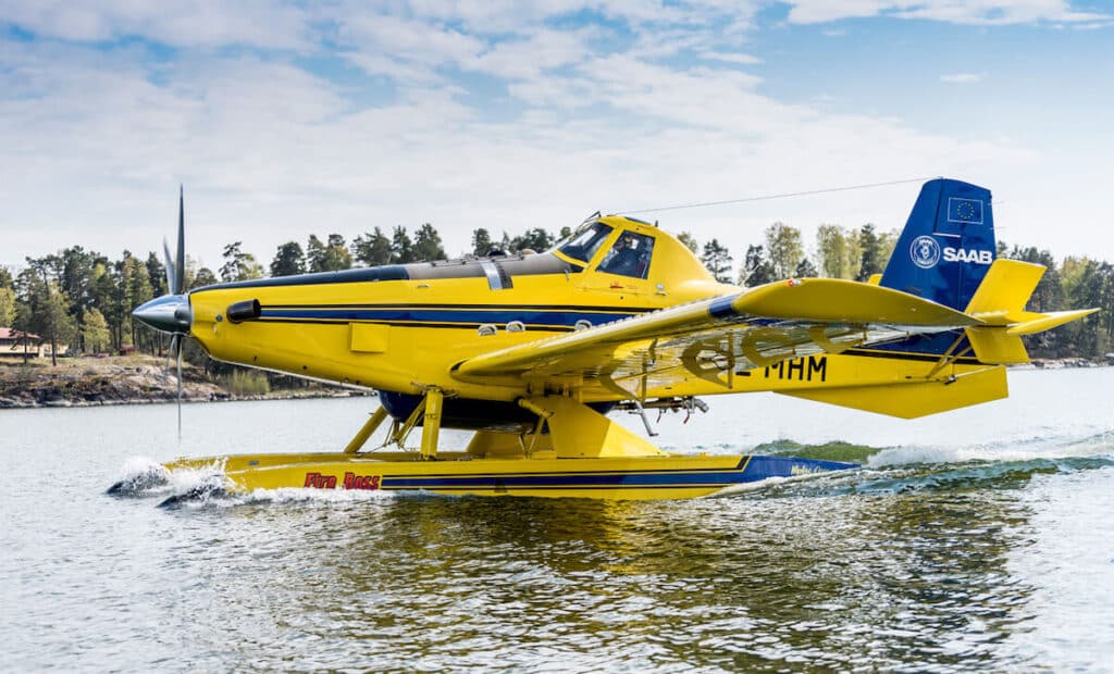
One of its growing services is aerial firefighting. Climate change and the rise in wildfires mean more and more fires are being fought and controlled by air, saving countless lives and properties.
Saab’s firefighting aircraft are equipped to drop up to 50,000 litres of water per hour onto fires. The water is scooped from lakes and rivers close to the fire, so they are able to fight fires that are far away from their airfields.
To do this effectively, firefighters need accurate route maps and live data to give them live information on airspace, flight paths, operations, water sources, terrain type, weather data and fire zones. Saab approached Zenitech to develop an application to bring this information in real-time to aerial firefighters to be used during live operations and pilot training.
Director, Industrial Cooperation
XR mission planning for aerial firefighting
Working closely with an experienced firefighter at Saab, Zenitech’s specialist Extended Reality (XR) and 3D developers created an application for Windows, Varjo VR, Android and HoloLens that includes innovative Extended Reality (MR/VR) mapping solutions.
Pilots can plot the course of a live firefighting operation in a 3D environment. They can plan and prepare to tackle the blaze through immersive 3D experience, visualising the area they will attack in a live firefighting situation, and undergo training in a realistic XR-based environment.
The main concept of the application is the digital transformation of the common tasks of flight planning mainly done via physical maps and various third-party tools. Transforming the process enables the users to gather the necessary data, modify the plan, according to the situation, save it, and share the meaningful aspects of the operation with other third parties – media, police, emergency services and others more easily.
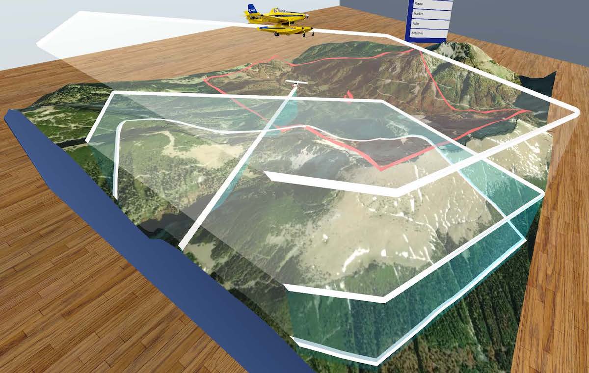
Interactive 3D planner
The application’s main interaction area – the planner tool – displays an interactive, fully three-dimensional (Google-Earth-like) world map, where the users can plan their operations.
During the planning, the users can use various drawing tools to represent the meaningful concepts of the plan:
- Flight routes
- Flight areas
- Ground units – police roadblocks, firefighters, refuelling airports
- Other flight units & flight areas
Other tools include rulers, various weather displays and many options to filter the static data available on the map:
- Map legends (countries, towns, cities, water bodies, etc)
- Special interest flight areas that might need the attention of the pilots (school zones, fuel depots, military airspaces)
- Very high obstacles (windmills, chimneys, etc)
- Known NAVAIDs
After planning the operation, the users are also able to get a view from the aircraft’s cockpit and fly through the mission to familiarize themselves with the terrain. In this mode, procedurally generated buildings (based on real-world data) are also displayed to help the users.
Zenitech’s team first developed an application for Windows, followed by Android and HoloLens two months later, and then for the whole XR environment. The engineers worked using an agile framework in two-week sprints, running bi-weekly workshops to ensure continuous collaboration with the client, inputting ideas and updating progress.
Value delivered
The developed project helps to save lives. Planning a firefighting mission is made easier through accurate, live data and the ability to experience and prepare for the operation in a virtual environment.
Technology highlights
- Creation of a geospatial visualization system
- Development of an XR route-planning application of firefighting aircraft for live-action and pilot training
- Integration of live flight feed and live video streaming
- Consultancy on Authentication, Authorization, and Data Security
- Supported Devices: Windows Desktop, Android, Varjo VR, HoloLens
- Development languages and tools: C#, Unity on all platforms, MRTK on Varjo VR and HoloLens
- Built on a custom, on-premise server